REFLECTIONS FROM THE END OF THE ROAD
I’ve just returned from my final field trip hunting down the remains of the original Muskoka road. This time Geoff and I drove from just north of Burk’s Falls to Nipissing Village. And although I didn’t take as many pictures as I had wanted to – too many orange-clad men in pick-up trucks and gunshots in the woods – I still got a feel for the northernmost sections of the road.
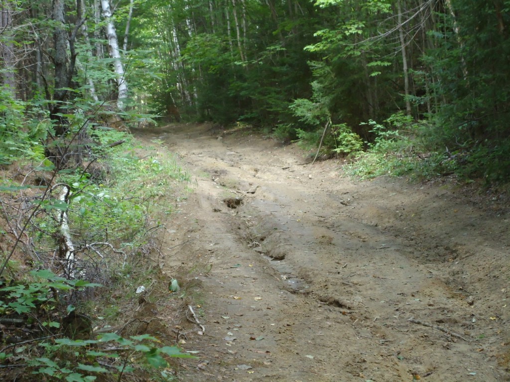
Nowhere else along the road’s length have I been so struck by how completely life changes. Here’s a picture taken at the intersection of the Muskoka Road and the South River Road.
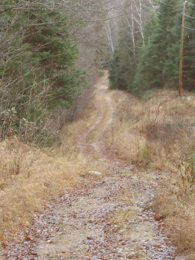
This trail used to connect the village of Uplands – the northernmost settlement along the Muskoka Road – with South River, an important railway depot. Through South River on the train came the mail for all of Machar township, plus food and supplies for the five villages that once existed here.
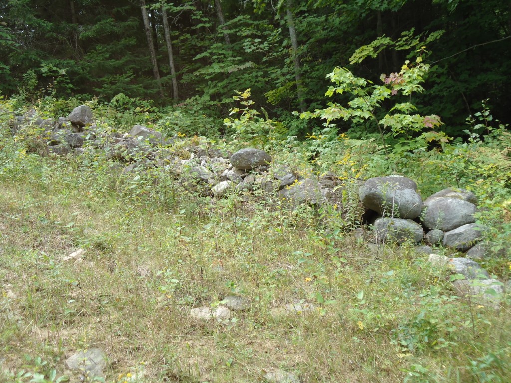
There’s not much left of this formerly vital link. There’s not much left of Uplands either – no sign of the stores, the school, the post office. We saw maybe five modern houses and one woman walking an unruly dog. At one time this was the busiest settlement in Machar. But as the centre of commerce shifted to the east along the railway line, Uplands withered.
I was shocked to find that so little remains! I’ve been so immersed in the 1880s and 90s that I fully expected to see that once-major intersection of the Muskoka Road and the South River Road. Instead, we drove right by it and had to double back, peering into the woods until we saw the trail snaking off to the east.
So there you go: for everything there is a season. Some villages take root, thrive for a time, then slowly fade away. Some roads – including parts of the Muskoka – suffer the same fate, and are now mere traces on the map compared to former thick, vital lines.
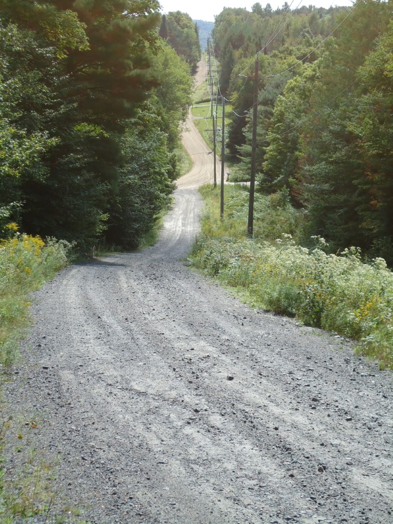
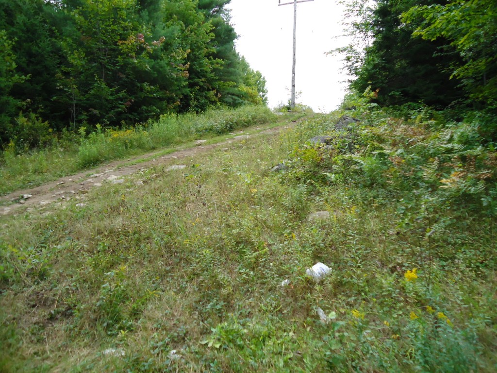
In fact, the ten northernmost kilometres of the Muskoka Road itself are now a snowmobile trail – best explored in winter and certainly not during hunting season.
