HONOURING PIONEER WOMEN

Hello there! Is it finally springtime in your neighbourhood?

Last week as the air in my neighbourhood finally softened, I took the opportunity to explore Richmond Village – my community. I wanted to see what might remain from its original settlement 200 years ago.
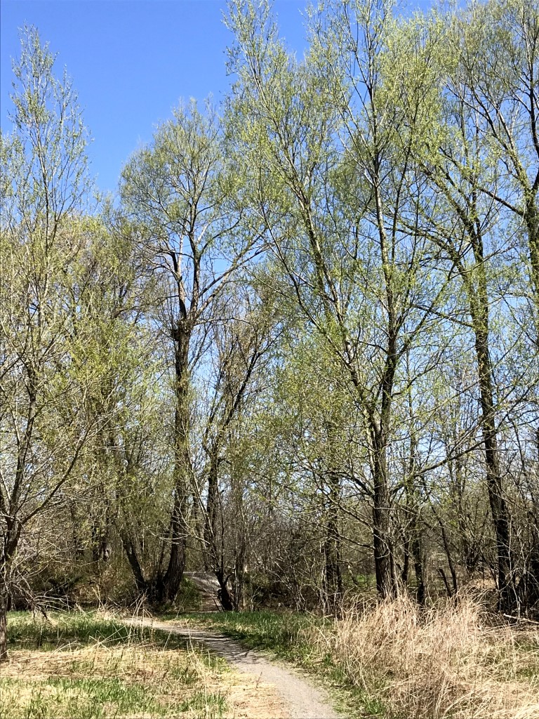
Site of original settlement, Richmond Ontario

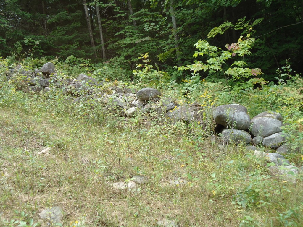
The short answer is: not much remains. The longer answer is that I spent a wonderful few hours along the banks of the Jock River, which bisects the village, in the vicinity of the original “Government Reserve” block of land. Most of this block is now a subdivision, but there remains a small undeveloped piece in the south-east corner. I wandered happily back and forth along a path that used to be where two major roads intersected, delighting in the experience of standing where key events in the history of my village took place. Here in 1818 was the Commissariat, where supplies were handed out and the soldiers collected their pensions. Here was the first school, which for the initial seven years of Richmond’s existence was also home to all denominations of churches.

Richmond was a military settlement, established by veterans of the War of 1812, most of them from Ireland. We know quite a lot about the first soldier/settlers: the ranks they held, the businesses they started, the legacies they’ve left in the village, including their names on our streets. As is typical with history, we know much less about Richmond’s first women. I found myself wondering about these women and lamenting how so few details about them survive, compared to their men. I’ve blogged about this topic before (How Women Get Lost in History) and last week I wrote even more about it: a poem based on historical facts, about what a Richmond pioneer woman might have experienced (published in the Richmond Hub).
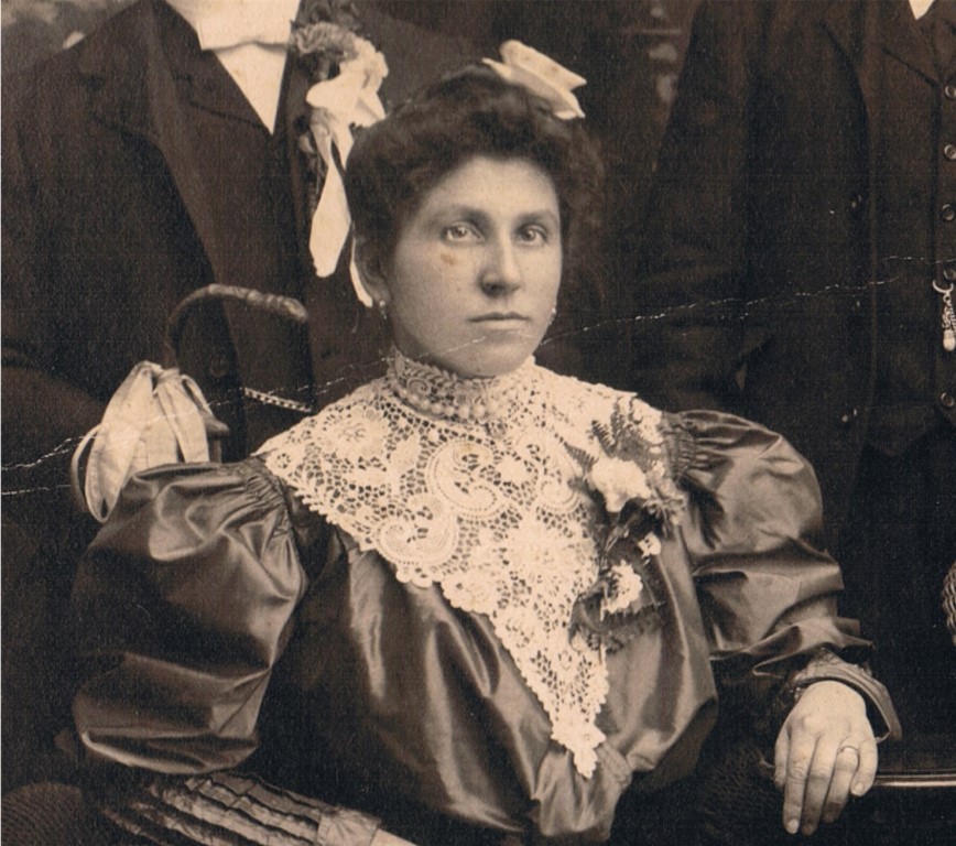
Julianna Molnar, circa 1910

This in turn led me to think about my own ancestral mothers and how I’ve worked hard to unearth details about their lives that might tell me something substantive about them. For the most part, they remain shrouded in time. This makes me sad, and also makes me want to honour them – especially my pioneer, immigrant great-grandmothers, for the particular hardships they endured.

My way of honouring is writing. So this month’s poem is for Julianna Molnár Gerencsér, my maternal great-grandmother. Happy Mothers Day, to all our ancestral mothers!

Lee Ann
MY MUSKOKA

The scope of Muskoka’s Main Street is a territory along the 172 kilometre length of the colonization road, stretching from Washago to just south of Lake Nipissing. My personal Muskoka is firmly anchored in a one-acre cottage property that hugs the shore of Green Bay on Three Mile Lake.

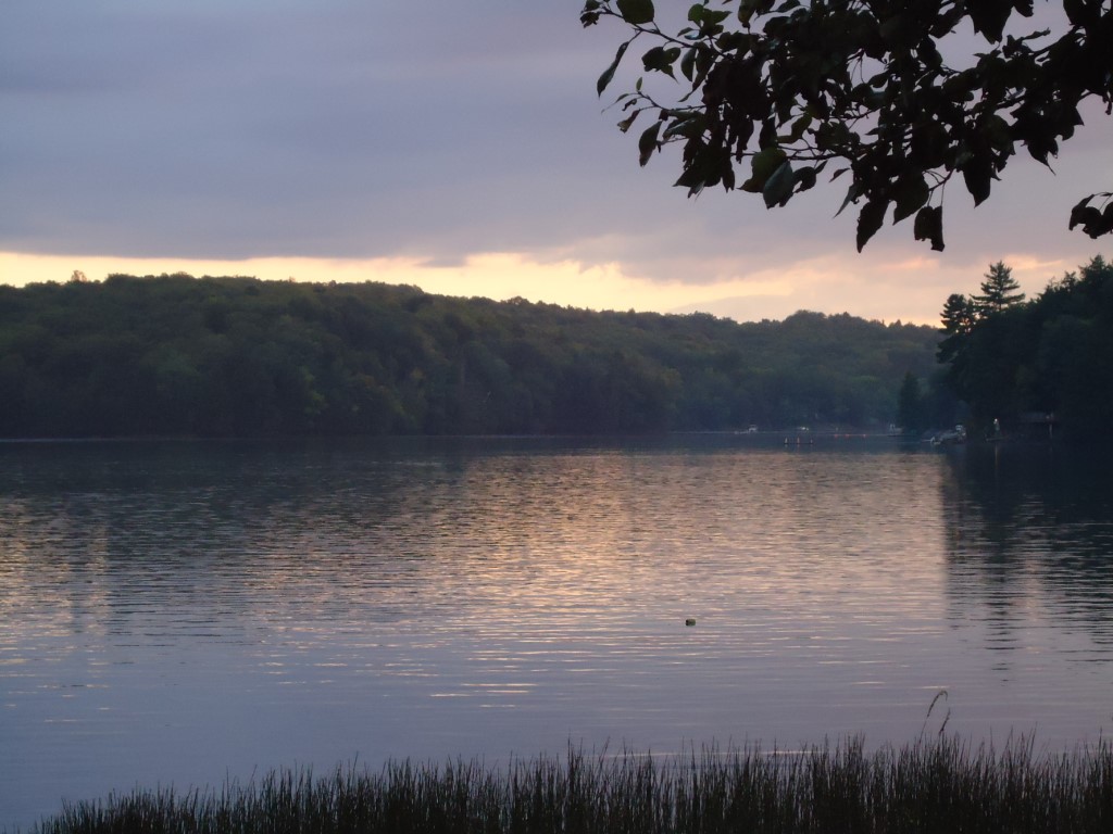
Green Bay, Three Mile Lake, Muskoka

This property has been owned by only two families in the past 150 years. The Shea family – one of the first to settle in Watt Township – took possession of it in about 1862, as part of their 200 acres of free grant land. Just over 100 years later, the Sheas subdivided their land and the lot was bought by my in-laws, Joan and Don Smith.

I love the sense of history that I get from roaming the property. I can stand on the strip of beach in the exact spot where a photo from Bert Shea’s memoir shows the pioneer Sheas in two canoes carved from one massive tree taken off Long Point. They grew wheat on our lot; I can imagine William Shea launching his canoe full of grain in 1863, to be taken over water and portage to Gravenhurst and then by pack over the Muskoka Road to Washago and the closest grist mill.

I can also picture my father-in-law sawing a hole through the ice on a winter trip to the cottage (one of my rare winter trips). And my children as babies sitting in the shallow water, their diapers swelling up to alarming proportions. I can hear the chatter that accompanied my sister and I stirring vats of macaroni salad for “Cousin Fest.”

In Muskoka, it’s all about the land, isn’t it? The craggy grey rock with its distinctive pink grain, rising in sheer cliffs or, as on our lot, poking out from the thin, sandy soil. It’s also about the trees: the mixed hardwood forests that still tower out of that inhospitable base. The Sheas named Green Bay not for the colour of the water in late summer, but for the trees that ringed the bay, and still do. 

Maybe above all else, Muskoka is about the lakes. The whole of Green Bay was once the playground of the pioneer Shea and Veitch families. Imagine having that as your back yard! I can imagine it. Because part of this bay is my Muskoka, rooted in Muskoka pioneer history and now Smith family history.

I used to define my Muskoka within this boundary. Muskoka’s Main Street has given me an even richer scope.

REFLECTIONS FROM THE END OF THE ROAD

I’ve just returned from my final field trip hunting down the remains of the original Muskoka road. This time Geoff and I drove from just north of Burk’s Falls to Nipissing Village. And although I didn’t take as many pictures as I had wanted to – too many orange-clad men in pick-up trucks and gunshots in the woods – I still got a feel for the northernmost sections of the road. 

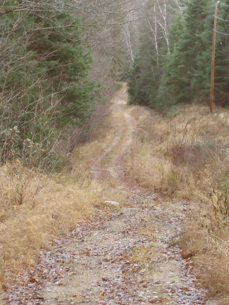
Nowhere else along the road’s length have I been so struck by how completely life changes. Here’s a picture taken at the intersection of the Muskoka Road and the South River Road.

South River Road from Muskoka Road looking east

This trail used to connect the village of Uplands – the northernmost settlement along the Muskoka Road – with South River, an important railway depot. Through South River on the train came the mail for all of Machar township, plus food and supplies for the five villages that once existed here.

There’s not much left of this formerly vital link. There’s not much left of Uplands either – no sign of the stores, the school, the post office. We saw maybe five modern houses and one woman walking an unruly dog. At one time this was the busiest settlement in Machar. But as the centre of commerce shifted to the east along the railway line, Uplands withered.

I was shocked to find that so little remains! I’ve been so immersed in the 1880s and 90s that I fully expected to see that once-major intersection of the Muskoka Road and the South River Road. Instead, we drove right by it and had to double back, peering into the woods until we saw the trail snaking off to the east.

So there you go: for everything there is a season. Some villages take root, thrive for a time, then slowly fade away. Some roads – including parts of the Muskoka – suffer the same fate, and are now mere traces on the map compared to former thick, vital lines.

 In fact, the ten northernmost kilometres of the Muskoka Road itself are now a snowmobile trail – best explored in winter and certainly not during hunting season.

WALKING THE MUSKOKA ROAD TODAY

It’s one thing to drive along part of Highway 11 and know you’re following the same route as the original Muskoka Colonization Road. It’s quite another to walk along part of the original road that still looks like it did 150 years ago.

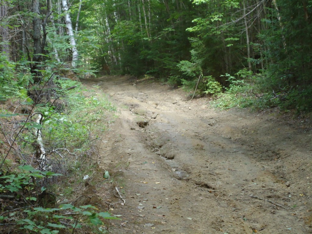
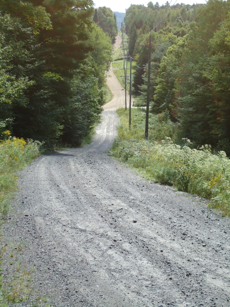
This is the Muskoka Road as it looked back in the 1800s: a dirt pathway that gambols up and down and around and through some of the roughest territory in Muskoka-Parry Sound. This is the actual road just north of Huntsville:

Complete with ruts, minus the tree stumps, and maybe four feet narrower than in the 19th century, stretches of the original road can still be travelled, if not by car, then by foot or mountain bike. Picture yourself clinging to the side of the stagecoach along this stretch just north of the Big East River:

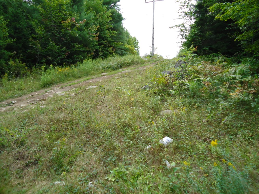
Remember that the road was maintained by the adjoining settlers under statute labour laws, which required every man over the age of 18 to provide two days of road work per year. But every man over the age of 18 was too busy trying to hack a farm out of his “free grant land” to do much road maintenance. Here’s part of James Matice’s 100 acres, which rises up along the east side of the Muskoka Road at the very north end of Chaffey Township:

In 1879, Matice and his wife Mary lived with their eight children in a shanty or log house right beside the road near this stone fence:

A little over a decade later the 1891 census shows no trace of the Matice family anywhere in Canada. I wonder why. Or is it obvious from the look of their land?

I plan to walk more sections of the original road – as much as is possible all the way to North Bay. But my adventure doesn’t begin to match that of the surveyors, settlers and entrepreneurs who made their way along this exact route 150 years ago.

ARE YOU MY READER? Defining the Audience For My Book

As a writer, it’s important for me to think about readers. Who is going to read this book? I mean specifically. What are the demographics, geographical locations, values and interests of the people who are going to care enough about this book to actually buy it?

Some writers write for one “Ideal Reader.” Stephen King’s Ideal Reader is his wife Tabitha. She is the one he wants to wow. She is the one he imagines laughing or crying or cringing when she reads one of his stories. Author and teacher Holly Lisle defines her readers in terms of the values they hold and the types of stories they like to read.

I don’t think there is one “Ideal Reader” for Muskoka’s Main Street. I think – I hope – a lot of different people will buy this book for a lot of different reasons. But I do think there are some specific characteristics that would draw people to my book.

You are my reader if:

  • You like a gripping story where real people overcome crushing hardship.
  • You are interested in learning about what changed the face of Muskoka-Parry Sound from raw wilderness and built the Ontario of today.
  • You are fascinated by entrepreneurs and enjoy learning about their lives, their motivations and innovations.
  • You like history but only when it reads like an adventure story.
  • You’ve noticed signs for “The Old Muskoka Road” and wondered what that’s all about.
  • You’ve ever wondered what it was really like to be a pioneer settler in Ontario’s 19th century.
  • You like to be shown facets of Ontario and its history that you might not know about.
  • You like to travel “off the beaten path” and see where the old road might lead.

Are you my reader?

FARMING IN MUSKOKA: First You Burn the Field

As I harvested the first of the lettuce from my garden this week, I thought about the pioneers living along The Muskoka Road. The first settlers to take up the “free grant lands” arrived in October 1859. They hauled themselves up the rock ridge just north of the Severn River and then scouted out an allotted 100 acres for their farmsteads. Only the lots directly adjacent to the road had been surveyed, and none of the families realized at the time that these initial 94 lots between Severn River and McCabe’s Landing (Gravenhurst) were some of the worst in the district for farming.

Near Lot 19 Morrison Twp on the Muskoka Road

Of course it was too late in the season to plant anything. The job at hand was to chop out a small clearing and build a shanty for the winter. But most settlers also cut the underbrush from the first acre or two in preparation for creating a field to plant in spring. They piled up the underbrush and then over the winter chopped down some of the large trees.  Using axes. Against old growth pines, some of which were 100 feet high and 7 feet in diameter. They cut the trunks of the trees into lengths of about 15 feet and heaved them onto the underbrush.

In May, when the brush was dry enough to burn, and on a day when the wind was blowing away from the new shanty, the pioneer collected some dry hemlock and birch bark and a piece of punk (dry, rotten wood). Crouching over this, he scratched his knife on a flint stone to strike a spark, then watched as a thin thread of smoke snaked up from the punk. With some blowing, the fire caught the bark and spread, until it was a great billowing mass. Funnels and forks of flames raced through the dry tinder. The pioneer moved carefully among the piles of brush, lighting each one until the acre blazed in one great inferno. By nightfall the fire died down, leaving the earth and skeletal stumps of trees black and scorched. The great piles of brush were gone, but charred logs remained and would have to be picked up, piled and burned again over the course of several days. Only the burnt stumps of the largest trees were left standing. It took about seven years before the roots had rotted enough to be pulled out. So wherever there was room between the tree stumps, the pioneers planted their crops of potatoes, garden produce, corn and buckwheat.

Salad, anyone?